Latitude/Longitude Disclaimer: The gauge location shown in the above map
is the approximate location based on the latitude/longitude coordinates
provided to the NWS by the gauge owner.
Flood Impacts & Photos
If you notice any errors in the below information, please contact our Webmaster
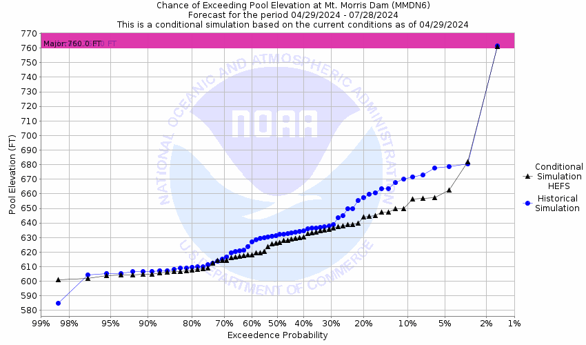
760
Flood stage, capacity of dam is reached. Spillway utilized. Dam must release flow. Major flooding likely downstream all the way to Rochester area. Co-ordination necessary among affected agencies for possible evacuations.
720
Action-alert stage. Pool significantly full. Increase monitoring.
600
Conservation pool, June 15 to November 1, maintained as close to this level as possible.
Observations courtesy of the U.S. Army Corps Engineers.
Collaborative Agencies
The National Weather Service prepares its forecasts and other services in collaboration with agencies like the US Geological Survey, US Bureau of Reclamation, US Army Corps of Engineers, Natural Resource Conservation Service, National Park Service, ALERT Users Group, Bureau of Indian Affairs, and many state and local emergency managers across the country. For details, please click here.
NWS Information
National Weather Service
Buffalo Weather Forecast Office
587 Aero Drive
Buffalo, NY 14225-1405
(716) 565-0204 Ask Questions/Webmaster
Page last modified: 2-Nov-2020 7:30 PM