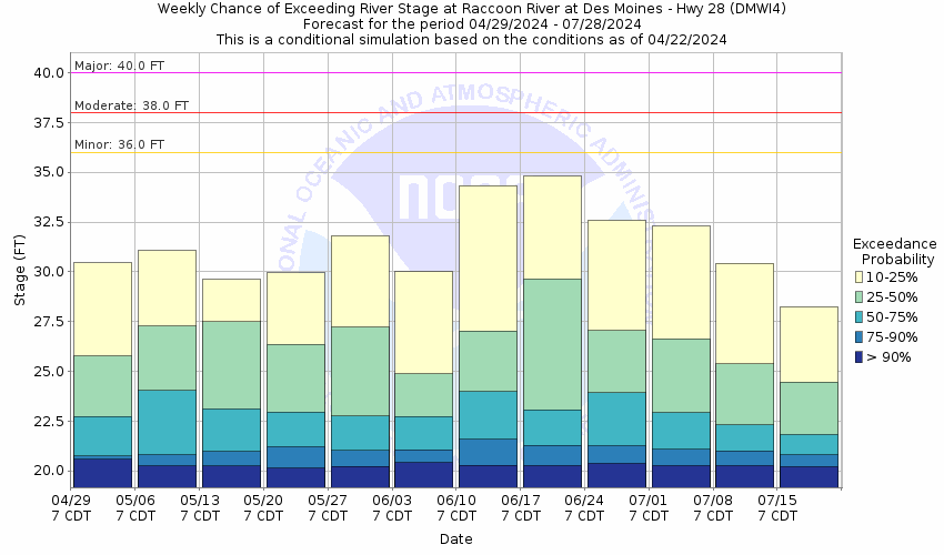
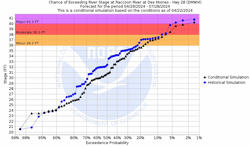
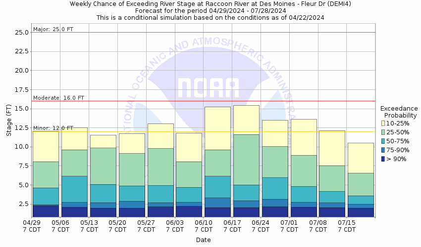
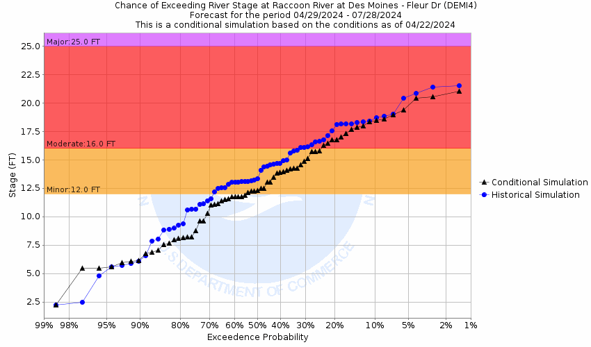
Flood Categories (in feet)
| Major Flood Stage: |
40 |
| Moderate Flood Stage: |
38 |
| Flood Stage: |
36 |
| Action Stage: |
34 |
| Low Stage (in feet): |
-9999 |
Historic Crests
(1) 41.31 ft on 06/13/2008
(2) 40.77 ft on 07/11/1993
(3) 40.37 ft on 06/26/2015
(4) 39.46 ft on 06/16/1998
(5) 38.22 ft on 05/24/2004
(6) 37.94 ft on 04/26/2007
(7) 37.52 ft on 02/19/1997
(8) 37.43 ft on 03/15/2019
(9) 37.43 ft on 12/15/2015
(10) 36.97 ft on 06/28/2010
Show More Historic Crests
(P): Preliminary values subject to further review.
Recent Crests
(1) 28.39 ft on 02/28/2023
(2) 31.02 ft on 06/07/2022
(3) 22.44 ft on 03/26/2021
(4) 29.95 ft on 10/12/2019
(5) 37.43 ft on 03/15/2019
(6) 34.04 ft on 06/25/2018
(7) 32.09 ft on 05/21/2017
(8) 37.43 ft on 12/15/2015
(9) 40.37 ft on 06/26/2015
(10) 34.51 ft on 09/01/2014
Show More Recent Crests
(P): Preliminary values subject to further review.
Low Water Records
Currently none available.