Flood ImpactsIf you notice any errors in the below information, please contact our Webmaster
22.6
Water affects Highway 1 north of the bridge.
21
Water is at the bottom of the County Road W38 bridge.
18
Water has overtopped roads causing closures. This includes 130th St, Kiwi Ave, Orange Ave and Poplar Ave. Extensive agricultural land near the river is flooded. Water begins backing into town on the north side of the river.
17
Water begins going over several county roads, including 13th St, Kiwi Ave, Orange Ave and Poplar Ave.
16
Water begins approaching several county roads. Agricultural land near the river is flooding.
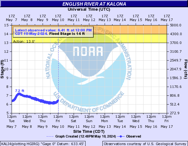
14
Agricultural land along the river begins to flood.
Flood Categories (in feet)
| Major Flood Stage: |
18 |
| Moderate Flood Stage: |
16 |
| Flood Stage: |
14 |
| Action Stage: |
13 |
| Low Stage (in feet): |
-9999 |
Historic Crests
(1) 22.55 ft on 07/06/1993
(2) 22.47 ft on 04/19/2013
(3) 21.65 ft on 07/02/2014
(4) 21.45 ft on 09/21/1965
(5) 21.06 ft on 05/11/1996
(6) 20.17 ft on 05/18/1974
(7) 20.06 ft on 06/18/1990
(8) 19.97 ft on 04/30/1974
(9) 19.90 ft on 06/30/1930
(10) 19.89 ft on 03/31/1960
Show More Historic Crests
(P): Preliminary values subject to further review.
Recent Crests
(1) 16.49 ft on 06/10/2020
(2) 18.71 ft on 05/30/2019
(3) 18.75 ft on 05/20/2019
(4) 19.89 ft on 03/14/2019
(5) 19.11 ft on 09/08/2018
(6) 14.09 ft on 01/21/2017
(7) 14.49 ft on 01/18/2017
(8) 18.98 ft on 12/15/2015
(9) 17.16 ft on 11/27/2015
(10) 18.37 ft on 08/11/2015
Show More Recent Crests
(P): Preliminary values subject to further review.
Low Water Records
Currently none available.