Flood ImpactsIf you notice any errors in the below information, please contact our Webmaster
23
Water reaches the road surface of the Northwest 70th Avenue bridge.
22.4
Water affects the low part of the west approach to the Northwest 70th Avenue bridge.
18
Water reaches the bottom of the Northwest 70th Avenue bridge deck.
16
Water affects the east approach of the Northwest 70th Avenue bridge.
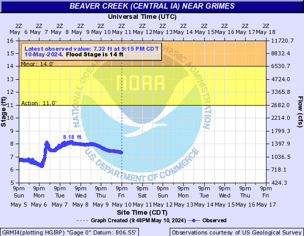
14
Highway R22 floods south of Iowa 141. Highway F31 west of Granger floods.
12
The west river bank overflows just south of the Northwest 70th Avenue bridge.
10
Water flows through the pedestrian underpass at NW 62nd Street.
9
Beaver Creek goes out of its banks at the meanders just north of NW 62nd Street.
Flood Categories (in feet)
| Major Flood Stage: |
17 |
| Moderate Flood Stage: |
16 |
| Flood Stage: |
14 |
| Action Stage: |
11 |
| Low Stage (in feet): |
-9999 |
Historic Crests
(1) 16.58 ft on 07/10/1993
(2) 14.90 ft on 08/11/2010
(3) 14.73 ft on 06/30/1986
(4) 14.69 ft on 05/19/1974
(5) 14.59 ft on 05/24/2004
(6) 14.51 ft on 06/01/2008
(7) 14.22 ft on 03/16/2019
(8) 14.20 ft on 06/19/1990
(9) 14.05 ft on 05/26/1960
(10) 14.04 ft on 06/13/1966
Show More Historic Crests
(P): Preliminary values subject to further review.
Recent Crests
(1) 12.19 ft on 06/07/2022
(2) 4.94 ft on 05/22/2021
(3) 9.44 ft on 05/28/2020
(4) 14.22 ft on 03/16/2019
(5) 13.92 ft on 07/01/2018
(6) 8.84 ft on 05/21/2017
(7) 13.35 ft on 12/15/2015
(8) 12.44 ft on 07/30/2015
(9) 12.93 ft on 06/26/2015
(10) 12.29 ft on 09/02/2014
Show More Recent Crests
(P): Preliminary values subject to further review.
Low Water Records
Currently none available.