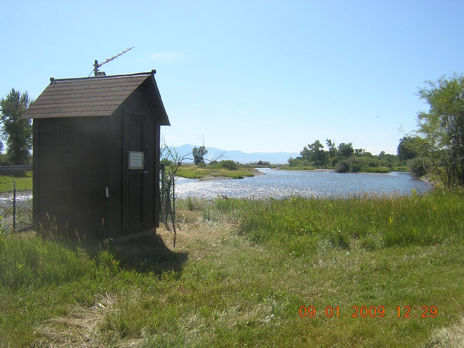
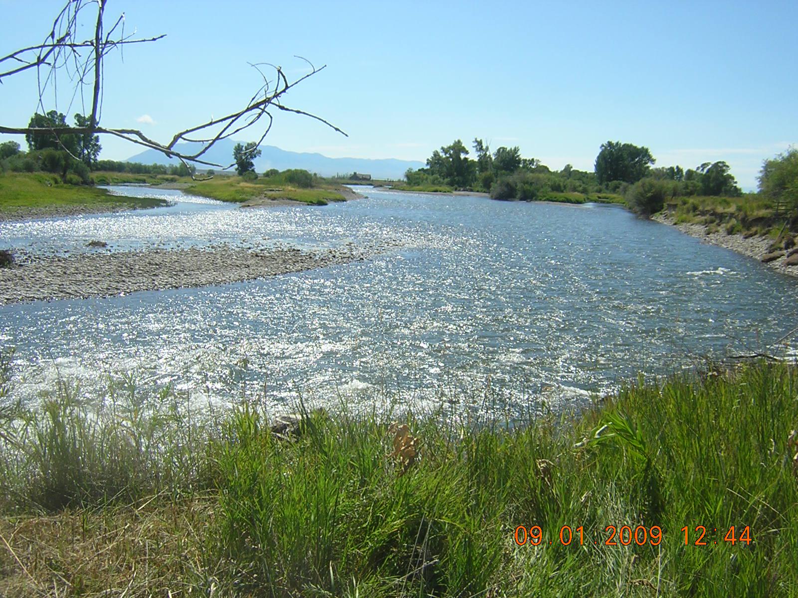
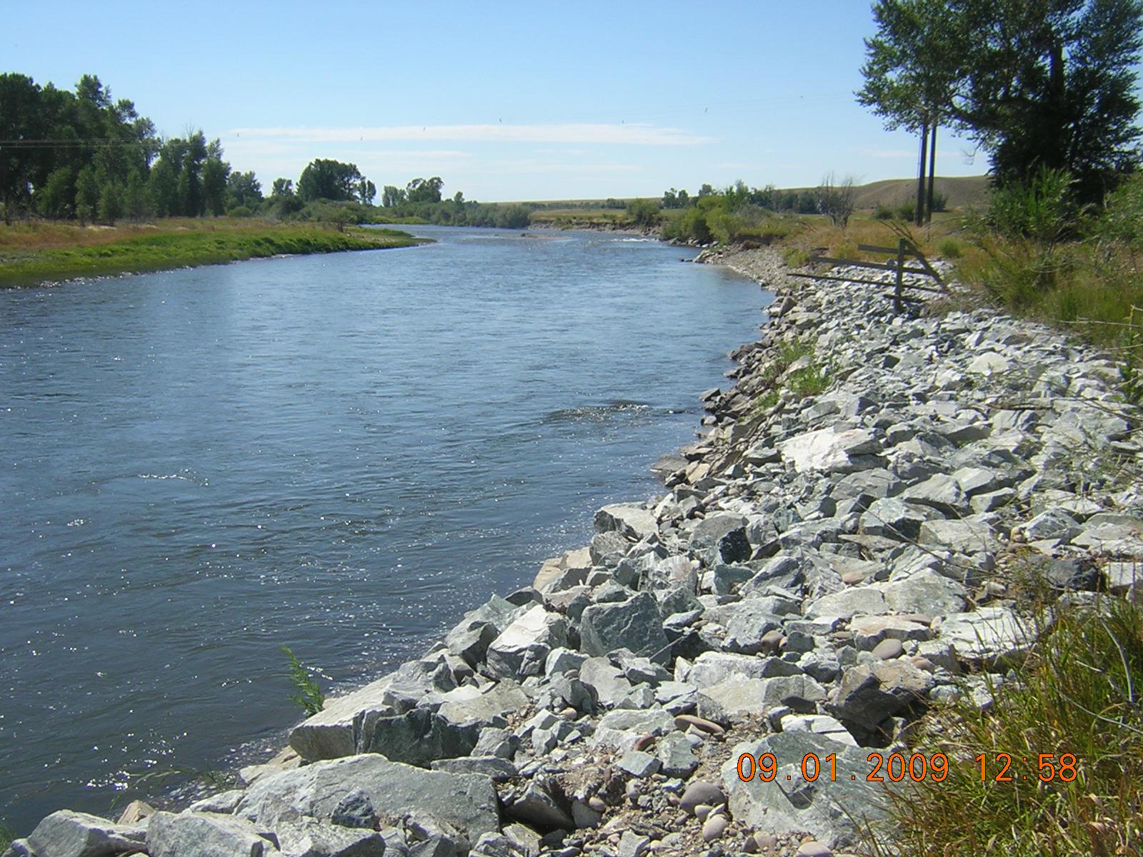
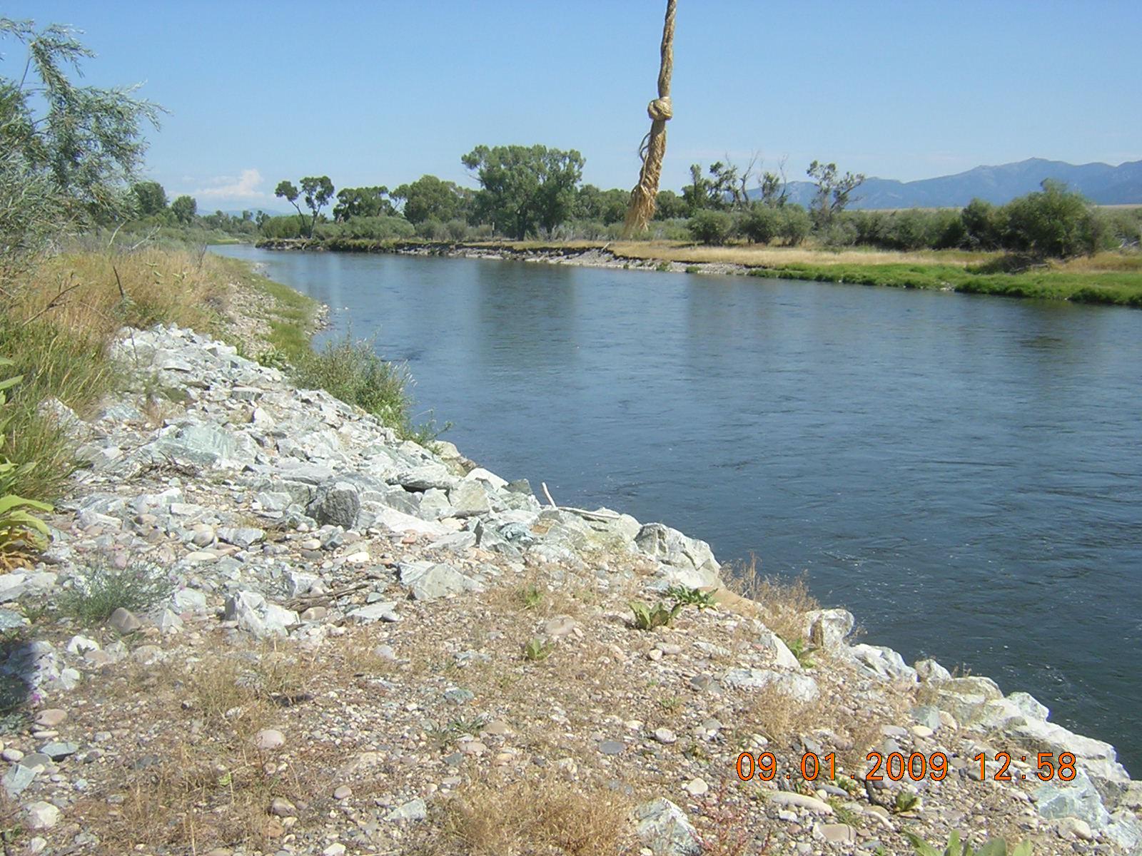
Jefferson River near Twin Bridges
Future / Actual / Minor
OWP 2.0 WWA Modal Title
01/11/2021, 10:04 PM UTC through 01/11/2021, 10:04 PM UTC
Sender
Sent
- Warning: no valid ratings curve available. Transformations to and from FEET/CFS/KCFS will not happen.
Traces and Thresholds Click to turn on/off display
Observed (OBS) 06/21/2025 7:15 AM MDTOfficial Forecast (FCST) 06/20/2025 8:17 AM MDTCATEGORY STAGE 
Major Flooding 12 ft Moderate Flooding 11 ft Minor Flooding 10 ft Action 9 ft Reliability of the Forecast:
NOTE: Forecasts are issued as needed during times of high water, but are not routinely available.
Stage may be affected by ice during winter months.
National Water Model Hydrograph
Official NWS streamflow forecasts are produced by NWS hydrologic forecasters for river gauge locations using hydrologic models which are calibrated to that location. This process considers additional guidance and information, including local expertise and experience, to produce the best forecast possible. The NWM output provides supplemental guidance to NWS forecasters and should not be considered an official NWS river forecast.
Flood Impacts
- 10.5 - February 2019...River stage near 10.5 feet between Twin Bridges and Silver Star. No flooding reported. Cause is an ice jam. The start of the ice jam was north of Silver Star.
- 9.3 - May 30 2018 - Around 9.3 feet, flooding continues downstream around Cardwell. Cardwell post office has water by it. Cardwell School is surrounded by water. Homes along this portion of the Jefferson River surrounded by water and basements flood.
- 9.1 - May 30 2018 - Around 9.1 feet, flooding begins downstream around Cardwell.
Gauge Info
| Coordinates | 45.6142, -112.329 |
| RFC | MBRFC |
| State | MT |
| WFO | TFX |
| County | Madison |
| Data Provider(s) | |
| US Geological Survey | USGS--Water Resources of the United States |
| USGS | 06026500 |
Gauge Location
Recent Crests
| 1. | 10.50 ft | on 02-11-2019 |
| 2. | 7.34 ft | on 04-28-2012 |
| 3. | 9.70 ft | on 06-12-2011 |
| 4. | 9.89 ft | on 06-11-2011 |
| 5. | 9.33 ft | on 06-19-2010 |
Recent Crests
| 1. | 10.50 ft | on 02-11-2019 | |
| 2. | 7.34 ft | on 04-28-2012 | |
| 3. | 9.70 ft | on 06-12-2011 | |
| 4. | 9.89 ft | on 06-11-2011 | |
| 5. | 9.33 ft | on 06-19-2010 | |
| 6. | 9.58 ft | on 06-02-2009 | |
| 7. | 9.58 ft | on 05-22-2008 | |
| 8. | 7.47 ft | on 06-09-2007 | |
| 9. | 9.34 ft | on 01-15-2007 | |
| 10. | 9.44 ft | on 06-11-2006 | |
| 11. | 6.96 ft | on 05-22-2005 | |
| 12. | 8.78 ft | on 01-02-2005 | |
| 13. | 5.83 ft | on 06-11-2004 | |
| 14. | 8.79 ft | on 01-03-2004 | |
| 15. | 10.31 ft | on 06-01-2003 | |
| 16. | 8.37 ft | on 06-03-2002 | |
| 17. | 8.52 ft | on 01-02-2002 | |
| 18. | 6.39 ft | on 06-16-2001 | |
| 19. | 11.25 ft | on 12-14-2000 | |
| 20. | 6.33 ft | on 05-30-2000 | |
| 21. | 10.08 ft | on 05-31-1999 | |
| 22. | 10.35 ft | on 01-07-1999 | |
| 23. | 9.66 ft | on 06-27-1998 | |
| 24. | 12.42 ft | on 06-09-1997 | |
| 25. | 12.00 ft | on 06-11-1996 | |
| 26. | 7.50 ft | on 04-24-1994 | |
| 27. | 8.25 ft | on 06-03-1972 | 1 |
| 28. | 7.34 ft | on 06-02-1971 | 1 |
| 29. | 7.69 ft | on 06-10-1970 | 1 |
| 30. | 7.51 ft | on 05-22-1969 | 1 |
| 31. | 6.71 ft | on 06-12-1968 | |
| 32. | 7.20 ft | on 01-04-1968 | 1 |
| 33. | 7.55 ft | on 06-08-1967 | 1 |
| 34. | 4.53 ft | on 04-05-1966 | |
| 35. | 8.13 ft | on 06-18-1965 | 1 |
| 36. | 9.04 ft | on 06-10-1964 | 1 |
| 37. | 7.28 ft | on 02-04-1963 | |
| 38. | 6.42 ft | on 06-16-1962 | |
| 39. | 5.89 ft | on 06-13-1961 | |
| 40. | 6.94 ft | on 06-10-1959 | |
| 41. | 7.04 ft | on 05-27-1958 |
Historic Crests
| 1. | 12.42 ft | on 06-09-1997 |
| 2. | 12.00 ft | on 06-11-1996 |
| 3. | 11.25 ft | on 12-14-2000 |
| 4. | 10.50 ft | on 02-11-2019 |
| 5. | 10.35 ft | on 01-07-1999 |
Historic Crests
| 1. | 12.42 ft | on 06-09-1997 | |
| 2. | 12.00 ft | on 06-11-1996 | |
| 3. | 11.25 ft | on 12-14-2000 | |
| 4. | 10.50 ft | on 02-11-2019 | |
| 5. | 10.35 ft | on 01-07-1999 | |
| 6. | 10.31 ft | on 06-01-2003 | |
| 7. | 10.08 ft | on 05-31-1999 | |
| 8. | 9.89 ft | on 06-11-2011 | |
| 9. | 9.70 ft | on 06-12-2011 | |
| 10. | 9.66 ft | on 06-27-1998 | |
| 11. | 9.58 ft | on 06-02-2009 | |
| 12. | 9.58 ft | on 05-22-2008 | |
| 13. | 9.44 ft | on 06-11-2006 | |
| 14. | 9.34 ft | on 01-15-2007 | |
| 15. | 9.33 ft | on 06-19-2010 | |
| 16. | 9.04 ft | on 06-10-1964 | 1 |
| 17. | 8.79 ft | on 01-03-2004 | |
| 18. | 8.78 ft | on 01-02-2005 | |
| 19. | 8.52 ft | on 01-02-2002 | |
| 20. | 8.37 ft | on 06-03-2002 | |
| 21. | 8.25 ft | on 06-03-1972 | 1 |
| 22. | 8.13 ft | on 06-18-1965 | 1 |
| 23. | 7.69 ft | on 06-10-1970 | 1 |
| 24. | 7.55 ft | on 06-08-1967 | 1 |
| 25. | 7.51 ft | on 05-22-1969 | 1 |
| 26. | 7.50 ft | on 04-24-1994 | |
| 27. | 7.47 ft | on 06-09-2007 | |
| 28. | 7.34 ft | on 04-28-2012 | |
| 29. | 7.34 ft | on 06-02-1971 | 1 |
| 30. | 7.28 ft | on 02-04-1963 | |
| 31. | 7.20 ft | on 01-04-1968 | 1 |
| 32. | 7.04 ft | on 05-27-1958 | |
| 33. | 6.96 ft | on 05-22-2005 | |
| 34. | 6.94 ft | on 06-10-1959 | |
| 35. | 6.71 ft | on 06-12-1968 | |
| 36. | 6.42 ft | on 06-16-1962 | |
| 37. | 6.39 ft | on 06-16-2001 | |
| 38. | 6.33 ft | on 05-30-2000 | |
| 39. | 5.89 ft | on 06-13-1961 | |
| 40. | 5.83 ft | on 06-11-2004 | |
| 41. | 4.53 ft | on 04-05-1966 |
Vertical Datum Table
| type | NAVD88 |
|---|---|
| major Flooding | 4572.00 ft |
| moderate Flooding | 4571.00 ft |
| minor Flooding | 4570.00 ft |
| action | 4569.00 ft |
| Latest Value | 4563.83 ft |
| Gauge Zero | 4560.00 ft |


Collaborative Agencies
The National Weather Service prepares its forecasts and other services in collaboration with agencies like the US Geological Survey, US Bureau of Reclamation, US Army Corps of Engineers, Natural Resource Conservation Service, National Park Service, ALERT Users Group, Bureau of Indian Affairs, and many state and local emergency managers across the country. For details, please click here.
Resources
Hydrologic Resource Links
- River Forecast Centers
- Text Products
- Past Precipitation
- Forecast Precipitation
- MBRFC - Missouri Basin River Forecast Center
- Upper Missouri Reservoir Inflow Forecasts
- Milk River Reservoir Inflow Forecasts
- Water Supply Outlook for the Missouri Basin
- Great Falls Hydrograph Composite
- Montana East of Divide Hydrograph Composite
- Glossary
- <font color=red><b>Basin Composites - SNOTEL/Flow/Stage</b></font>
- <font color=red><b>CRREL Map of Current Ice Jams</b></font>
Additional Resource Links
- NWS Precipitation and River Forecasting
- Area Hydrographs
- NWS - Great Falls Home Page
- USGS - Montana Daily Streamflow Conditions
- NRCS - Current Snow and Precipitation Data
- NOHRSC - Snow Information
- Montana Drought Information
- NOAA Drought Information Center
- Montana Ice Jam Awareness
- <font color=red><b>Flood Safety Awareness Week March 14-19, 2016</b></font>
- Video: <i>USGS Streamgages - The Silent Superheroes</i>
- FEMA National Flood Insurance Program