Historic Crests
(1) 22.04 ft on 09/29/1904
(2) 19.96 ft on 06/18/1965
(3) 10.55 ft on 06/06/1958
(4) 10.11 ft on 04/23/1942
(5) 9.26 ft on 04/30/1999
(6) 9.20 ft on 07/28/1971
(7) 8.35 ft on 05/20/1979
(8) 7.92 ft on 08/12/1990
(9) 7.28 ft on 06/03/1937
(10) 7.28 ft on 05/30/1995
(P): Preliminary values subject to further review.
Recent Crests
(1) 9.26 ft on 04/30/1999
(2) 7.28 ft on 05/30/1995
(3) 7.92 ft on 08/12/1990
(4) 8.35 ft on 05/20/1979
(5) 9.20 ft on 07/28/1971
(6) 19.96 ft on 06/18/1965
(7) 10.55 ft on 06/06/1958
(8) 10.11 ft on 04/23/1942
(9) 7.28 ft on 06/03/1937
(10) 22.04 ft on 09/29/1904
(P): Preliminary values subject to further review.
Latitude/Longitude Disclaimer: The gauge location shown in the above map
is the approximate location based on the latitude/longitude coordinates
provided to the NWS by the gauge owner.
Flood Impacts & Photos
If you notice any errors in the below information, please contact our Webmaster
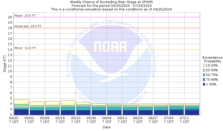
20
Major flooding is occurring along the Cimarron River in the Springer area. The state highway 21 bridge in Springer is under water and should be considered impassable. Homes and businesses along the river are being inundated, especially in the area from south of Colbert Avenue between Second and Fourth streets in Springer.
18
Significant flooding is occurring along the Cimarron River in the Springer area. Flood waters have overtopped or could soon overtop the state highway 21 bridge in Springer. Homes and businesses along the river are being flooded, especially in the area south of Colbert Avenue between Second and Fourth streets.
14
The Cimarron River is overtopping its natural banks with adjacent pasture and farm land being flooded. Water is approaching the bottom of the state highway 21 bridge in Springer. Further river rises could result in debris against the bridge allowing water to flow over the bridge road surface or the approaches to the bridge.
The National Weather Service prepares its forecasts and other services in collaboration with agencies like the US Geological Survey, US Bureau of Reclamation, US Army Corps of Engineers, Natural Resource Conservation Service, National Park Service, ALERT Users Group, Bureau of Indian Affairs, and many state and local emergency managers across the country. For details, please click here.
NWS Information
National Weather Service
Albuquerque Weather Forecast Office
2341 Clark Carr Loop SE
Albuquerque, NM 87106
(505) 243-0702 Ask Questions/Webmaster
Page last modified: 2-Nov-2020 7:28 PM