Skip Navigation Link weather.gov  
NOAA logo - Click to go to the NOAA homepage National Weather Service NWS logo - Click to go to the NWS homepage
Advanced Hydrologic Prediction Service
Image background of Navigation bar Left
Navigation Bar End Cap


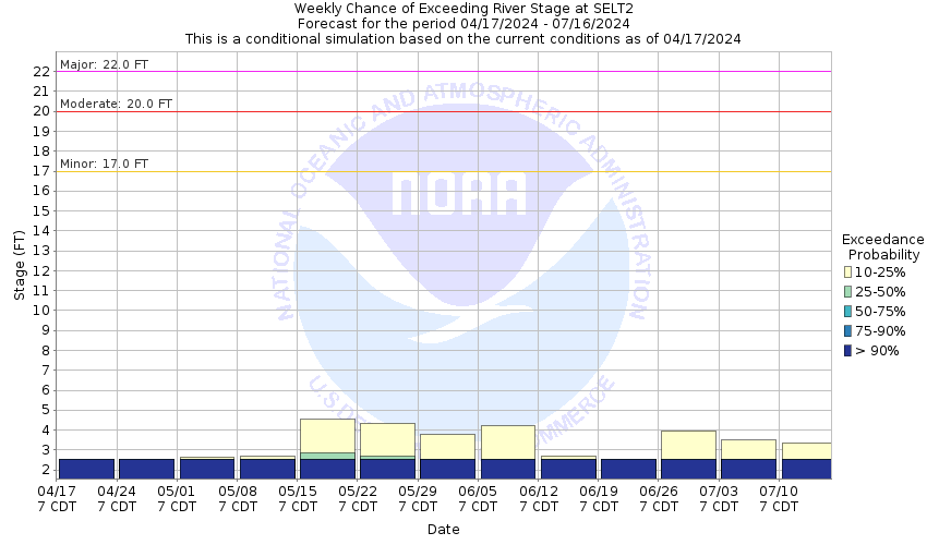
This probabilistic forecast is issued by the West Gulf River Forecast Center.
tab left off Hydrograph tab right off tab left off River at a Glance tab right off tab left off Download tab right off tab left off Inundation
Mapping
tab right off tab left on tab right on
About this graph
Forecasts for the Cibolo Creek at Selma are issued as needed during times of high water, but are not routinely available.
Return to Area Map

Zoom Level:15
Flood Categories (in feet)
Major Flood Stage: 22
Moderate Flood Stage: 20
Flood Stage: 17
Action Stage: 14
Low Stage (in feet): -9999

Historic Crests
(1) 35.40 ft on 10/17/1998
(2) 29.73 ft on 06/22/1997
(3) 26.00 ft on 01/01/1989
(4) 24.34 ft on 05/12/1972
(5) 22.31 ft on 07/02/2002
Show More Historic Crests

(P): Preliminary values subject to further review.

Recent Crests
(1) 21.93 ft on 10/30/2015 (P)
(2) 19.02 ft on 05/24/2015
(3) 17.36 ft on 11/22/2004
(4) 22.31 ft on 07/02/2002
(5) 35.40 ft on 10/17/1998
Show More Recent Crests

(P): Preliminary values subject to further review.

Low Water Records
Currently none available.
KML Image
Gauge LocationGauge Map Marker
Disclaimer
Latitude/Longitude Disclaimer: The gauge location shown in the above map is the approximate location based on the latitude/longitude coordinates provided to the NWS by the gauge owner.
Flood Impacts & Photos Collapse
If you notice any errors in the below information, please contact our Webmaster
31 Water reaches the floor of the Highway 78 bridge.
22 Major flooding severely floods a trailer park in Schertz. Major lowland flooding damages crop and pasture land below Bulverde to below Falls City, flooding secondary roads and low bridges.
20 A trailer park downstream in Schertz floods. Flow approaches lowest businesses and residences in Schertz. Moderate lowland flooding damages crop and pasture land in the flood plain below Bulverde to below Stockdale.
18 River has reached the floor of the bridge at the intersection of Lookout Road and North Evans Road near the gauge.
17 Minor lowland flooding floods a trailer park downstream in Schertz. Moderate lowland flooding in the flood plain below Bulverde to below Stockdale floods secondary roads and bridges near the creek.

Other Real-time and/or Archive Data Sources:

Collaborative Agencies Collapse
The National Weather Service prepares its forecasts and other services in collaboration with agencies like the US Geological Survey, US Bureau of Reclamation, US Army Corps of Engineers, Natural Resource Conservation Service, National Park Service, ALERT Users Group, Bureau of Indian Affairs, and many state and local emergency managers across the country. For details, please click here.
NWS Information
National Weather Service
Austin/San Antonio Weather Forecast Office
2090 Airport Road
New Braunfels, TX 78130
(830) 629-0130
Ask Questions/Webmaster
Page last modified: 2-Nov-2020 7:29 PM
Disclaimer
Credits
Glossary
Privacy Policy
About Us
Career Opportunities