Skip Navigation Link weather.gov  
NOAA logo - Click to go to the NOAA homepage National Weather Service NWS logo - Click to go to the NWS homepage
Advanced Hydrologic Prediction Service
Image background of Navigation bar Left
Navigation Bar End Cap


This probabilistic forecast is issued by the Colorado Basin River Forecast Center.
tab left off Hydrograph tab right off tab left off River at a Glance tab right off tab left off Download tab right off tab left on tab right on
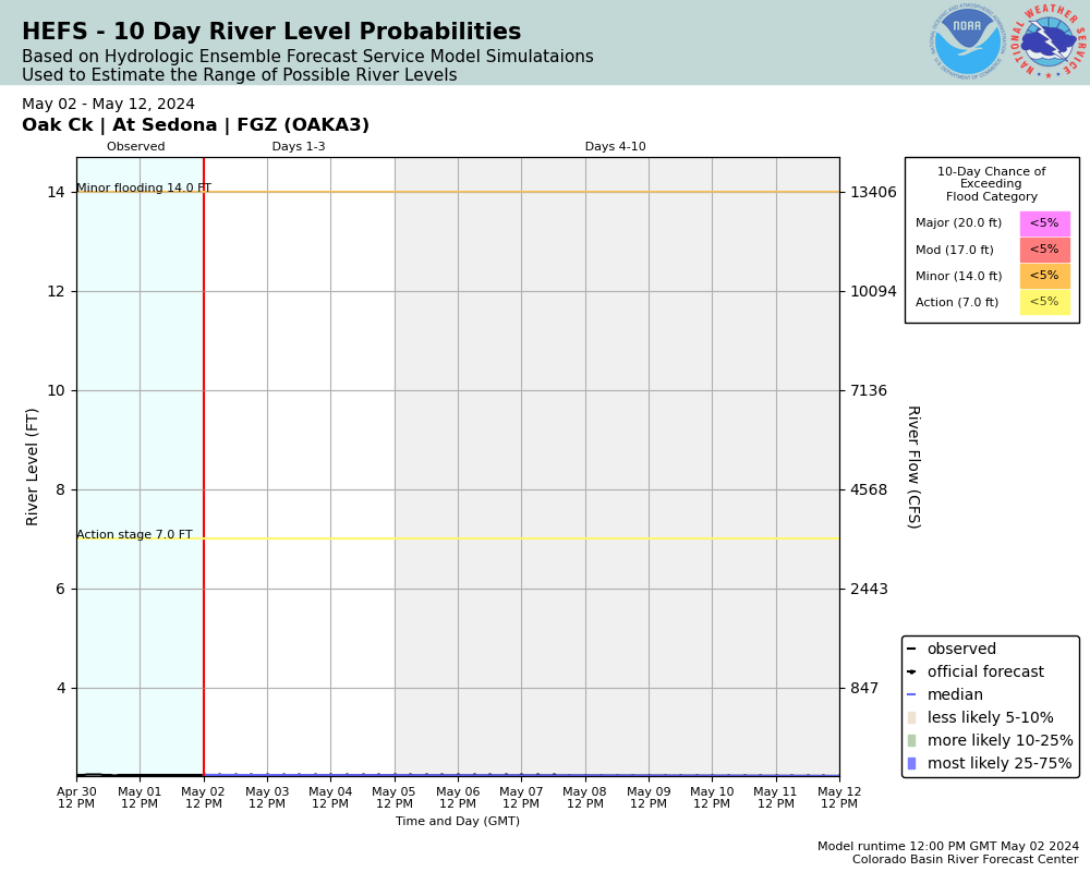
Experimental Short Range Forecast Uncertainty (AHPS) - External Links: Product Description Document | Customer Survey
About this graph
Forecasts for the Oak Creek (AZ) near Sedona are issued routinely year-round.
Return to Area Map

Downstream Gauge Downstream Gauge - near Cornville
Zoom Level:13
Flood Categories (in feet)
Major Flood Stage: 20
Moderate Flood Stage: 17
Flood Stage: 14
Action Stage: 7
Low Stage (in feet): -9999

Historic Crests
(1) 20.33 ft on 02/19/1993
(2) 18.47 ft on 12/29/2004
(3) 18.47 ft on 03/06/1995
(4) 12.11 ft on 02/15/2019
(5) 11.59 ft on 11/30/1982
(6) 11.34 ft on 12/07/2007
(7) 10.95 ft on 03/02/2015
(8) 10.29 ft on 02/13/1992
(9) 9.32 ft on 03/01/1991
(10) 9.25 ft on 12/27/1983
Show More Historic Crests

(P): Preliminary values subject to further review.

Recent Crests
(1) 12.11 ft on 02/15/2019
(2) 8.01 ft on 12/23/2016
(3) 10.95 ft on 03/02/2015
(4) 6.12 ft on 03/01/2014
(5) 8.32 ft on 01/26/2013
(6) 11.34 ft on 12/07/2007
(7) 18.47 ft on 12/29/2004
(8) 7.80 ft on 02/13/2003
(9) 18.47 ft on 03/06/1995
(10) 20.33 ft on 02/19/1993
Show More Recent Crests

(P): Preliminary values subject to further review.

Low Water Records
Currently none available.
KML Image
Gauge LocationGauge Map Marker
Disclaimer
Latitude/Longitude Disclaimer: The gauge location shown in the above map is the approximate location based on the latitude/longitude coordinates provided to the NWS by the gauge owner.
Flood Impacts & Photos Collapse
If you notice any errors in the below information, please contact our Webmaster
24.5 Creek reaches bottom of pedestrian and highway bridges at Tlaquepaque.
20 Major flooding to mobile homes downstream from the Tlaquepaque bridge and access roads along Oak Creek through Sedona.
18 Inundation begins at Rancho Sedona RV Park on Bear Wallow Lane as well as lower parking lot of Poco Diablo Resort off of Oak Creek Cliffs Drive.
16 Minor damage to shops and galleries near the Tlaquepaque bridge.
14 Flood stage. Several islands downstream in Sedona evacuated. Minor flooding of access roads, buildings, and residences along Oak Creek.
13 Stream reaches terrace near Tlaquepaque bridge. Water reaches edge of several residential and commercial properties near Tlaquepaque bridge. Low water crossings closed.
7 Likely to cause minor flooding downstream in Page Springs area near stream gage OACA3 4 to 6 hours later.
5 Multiple private low water crossings and bridges over Oak Creek above Sedona become impassable.
Photos
(1) Looking upstream toward Hwy 179 bridge. Stream level 2.36'.
(2) Looking downstream from below Hwy 179 bridge. Stream level 2.36'.
(3) Looking downstream toward Hwy 179 bridge. Stream level 2.36'.

Other Real-time and/or Archive Data Sources:

Collaborative Agencies Collapse
The National Weather Service prepares its forecasts and other services in collaboration with agencies like the US Geological Survey, US Bureau of Reclamation, US Army Corps of Engineers, Natural Resource Conservation Service, National Park Service, ALERT Users Group, Bureau of Indian Affairs, and many state and local emergency managers across the country. For details, please click here.
NWS Information
National Weather Service
Flagstaff Weather Forecast Office
49 Hughes Ave
Bellemont, AZ 86015
(928) 556-9161
Ask Questions/Webmaster
Page last modified: 2-Nov-2020 7:28 PM
Disclaimer
Credits
Glossary
Privacy Policy
About Us
Career Opportunities