Historic Crests
(1) 205.59 ft on 01/06/2022 (P)
(2) 205.48 ft on 02/08/1996
(3) 204.86 ft on 03/01/2022 (P)
(4) 204.62 ft on 11/12/2021 (P)
(5) 204.52 ft on 12/21/2019 (P) Show More Historic Crests
(P): Preliminary values subject to further review.
Recent Crests
(1) 204.02 ft on 12/06/2023 (P)
(2) 204.86 ft on 03/01/2022 (P)
(3) 205.59 ft on 01/06/2022 (P)
(4) 204.62 ft on 11/12/2021 (P)
(5) 203.36 ft on 02/23/2021 (P) Show More Recent Crests
(P): Preliminary values subject to further review.
Latitude/Longitude Disclaimer: The gauge location shown in the above map
is the approximate location based on the latitude/longitude coordinates
provided to the NWS by the gauge owner.
Flood Impacts & Photos
If you notice any errors in the below information, please contact our Webmaster
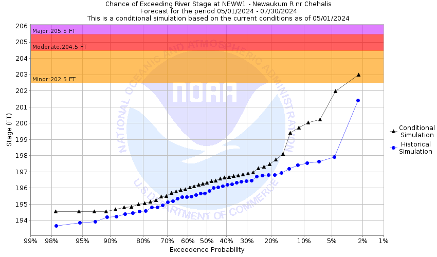
205.5
flood waters will inundate most roads and a majority of residential and commercial areas within the region. Swift flood waters will become deep and hazardous, especially near river channels. A stage of 205.5 feet on the Newaukum corresponds to Phase 4 in the Lewis County flood system. Flooding will occur all along the river including headwaters, forks, tributaries, and other streams within and near the Newaukum River Basin.
204.5
deep and hazardous flood waters will inundate many roads and residential and commercial areas along the Newaukum River and its forks. Impacted roadways and surrounding areas include SR 508, Jackson Hwy. and Tune, Rush, Sommerville, Griel, Hamilton, Tauscher, Guerrier, Kirkland, Macomber, Rice, Senn, Lucas Creek, Middle Fork and North Fork, Bishop, Shorey, Labree, Gish, Yates Roads. A stage of 204.5 feet on the Newaukum roughly corresponds to Phase 3 flood in the Lewis County flood system.
202.5
flood waters will inundate many roads and residential and commercial areas along the Newaukum River and its forks. Flooding in some areas may be deep and hazardous especially near rivers. Impacted roadways and surrounding areas include Jackson Hwy. and Tune, Rush, Sommerville, Griel, Hamilton, Tauscher, Guerrier, Kirkland, Macomber, Rice, Senn, Lucas Creek, Middle Fork and North Fork Roads. A stage of 202.5 feet on the Newaukum roughly corresponds to Phase 2 flood in the Lewis County flood system.
The National Weather Service prepares its forecasts and other services in collaboration with agencies like the US Geological Survey, US Bureau of Reclamation, US Army Corps of Engineers, Natural Resource Conservation Service, National Park Service, ALERT Users Group, Bureau of Indian Affairs, and many state and local emergency managers across the country. For details, please click here.
NWS Information
National Weather Service
Seattle Weather Forecast Office
7600 Sandpoint Way NE
Seattle, WA 98115-6349
(206) 526-6087 Ask Questions/Webmaster
Page last modified: 2-Nov-2020 7:27 PM