Flood ImpactsIf you notice any errors in the below information, please contact our Webmaster
38
The levees in and around Sioux City downstream of the gage begin to be overtopped. The bridge at the gauge location on CR 70 is overtopped.
36
Flooding begins to affect the town of James.
35.5
The railroad tracks in Sioux City should be closed.
34.5
Approximately 3700 acres of farm land are flooded.
34
The northbound lane of Highway 75 is flooded, and the railroad company begins to shut down operations.
32
Water approaches the railroad tracks and may overtop them in some locations.
31.5
Flooding begins to affect the farm levees, and about 3200 acres of farm land are flooded.
30
The lowest portions of County Highway C70 begins to flood. Outbuildings near the gauge location may begin to flood.
28.5
Approximately 2100 acres of farm land are flooded.
27.5
Approximately 1500 acres of farm land are flooded.
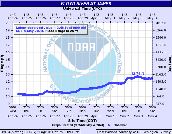
26
Flooding begins to affect the low lying agricultural lands.
24
The lowest banks are overtopped with minor lowland flooding.
18
The Floyd River levee gates in Sioux City begin closing.
Flood Categories (in feet)
| Major Flood Stage: |
34 |
| Moderate Flood Stage: |
30 |
| Flood Stage: |
26 |
| Action Stage: |
24 |
| Low Stage (in feet): |
-9999 |
Historic Crests
(1) 31.48 ft on 03/15/2019
(2) 28.85 ft on 06/21/1983
(3) 28.19 ft on 03/23/1979
(4) 28.13 ft on 02/19/1971
(5) 27.70 ft on 09/22/2018
Show More Historic Crests
(P): Preliminary values subject to further review.
Recent Crests
(1) 13.73 ft on 02/27/2023
(2) 9.13 ft on 04/10/2021
(3) 13.18 ft on 12/30/2019
(4) 31.48 ft on 03/15/2019
(5) 27.70 ft on 09/22/2018
Show More Recent Crests
(P): Preliminary values subject to further review.
Low Water Records
Currently none available.