Vertical Datum updated from NGVD29 to NAVD88 by gauge owner.
Flood Categories (in feet)
| Major Flood Stage: |
24 |
| Moderate Flood Stage: |
22 |
| Flood Stage: |
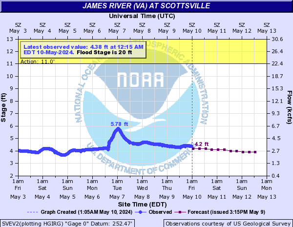
20 |
| Action Stage: |
11 |
| Low Stage (in feet): |
0 |
Historic Crests
(1) 34.02 ft on 06/22/1972
(2) 31.77 ft on 11/06/1985
(3) 30.00 ft on 08/20/1969
(4) 28.24 ft on 09/07/1996
(5) 26.17 ft on 04/17/1987
(6) 26.02 ft on 01/20/1996
(7) 26.00 ft on 09/19/1944
(8) 25.84 ft on 08/16/1940
(9) 25.46 ft on 03/19/1936
(10) 25.31 ft on 04/23/1992
Show More Historic Crests
(P): Preliminary values subject to further review.
Recent Crests
(1) 12.80 ft on 04/13/2024
(P)
(2) 14.72 ft on 01/30/2024
(P)
(3) 17.81 ft on 01/10/2024
(P)
(4) 17.40 ft on 07/16/2023
(5) 12.01 ft on 05/29/2022
(6) 12.65 ft on 12/25/2020
(7) 12.62 ft on 12/05/2020
(8) 14.64 ft on 12/01/2020
(9) 19.52 ft on 11/12/2020
(10) 16.36 ft on 10/30/2020
Show More Recent Crests
(P): Preliminary values subject to further review.
Low Water Records
(1) 1.40 ft on 09/13/1966
(2) 1.46 ft on 10/01/1930
(3) 1.47 ft on 09/21/1932
(4) 1.62 ft on 09/30/1925