Latitude/Longitude Disclaimer: The gauge location shown in the above map
is the approximate location based on the latitude/longitude coordinates
provided to the NWS by the gauge owner.
Flood Impacts & Photos
If you notice any errors in the below information, please contact our Webmaster
30
major flooding. Flows similar to January 2005 event.
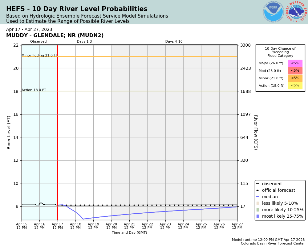
26
major flood stage, significant inundation of homes, outbuildings and roads along and east of South Deer Street between Overton Park and Lamar Avenue. Mandatory evacuations possible. Flows somewhat higher than 12/2010 event.
23
moderate flooding, some inundation of homes, outbuildings and roads along and east of South Deer Street between Overton Park and Lamar Avenue. Some evacuations possible. Flows similar to 10/2015 event.
21
minor flooding, flooding of farm fields and open area adjacent to the Muddy River between East Lester Avenue and Lamar Avenue in Overton. Near the Muddy River Channel East Ingram and Lewis Avenue closed due to water overtopping the roadways.
The National Weather Service prepares its forecasts and other services in collaboration with agencies like the US Geological Survey, US Bureau of Reclamation, US Army Corps of Engineers, Natural Resource Conservation Service, National Park Service, ALERT Users Group, Bureau of Indian Affairs, and many state and local emergency managers across the country. For details, please click here.
NWS Information
National Weather Service
Las Vegas Weather Forecast Office
7851 S Dean Martin Dr
Las Vegas, NV 89139-6628
(702) 263-9744 Ask Questions/Webmaster
Page last modified: 2-Nov-2020 7:27 PM