Historic Crests
(1) 29.70 ft on 08/20/1940
(2) 26.98 ft on 09/19/1999
(3) 24.71 ft on 09/23/2003
(4) 24.50 ft on 07/22/1945
(5) 24.43 ft on 07/19/1975 Show More Historic Crests
(P): Preliminary values subject to further review.
Recent Crests
(1) 17.40 ft on 03/08/2024 (P)
(2) 19.61 ft on 01/15/2024 (P)
(3) 17.20 ft on 12/23/2023 (P)
(4) 18.98 ft on 02/20/2021
(5) 16.40 ft on 01/07/2021 Show More Recent Crests
(P): Preliminary values subject to further review.
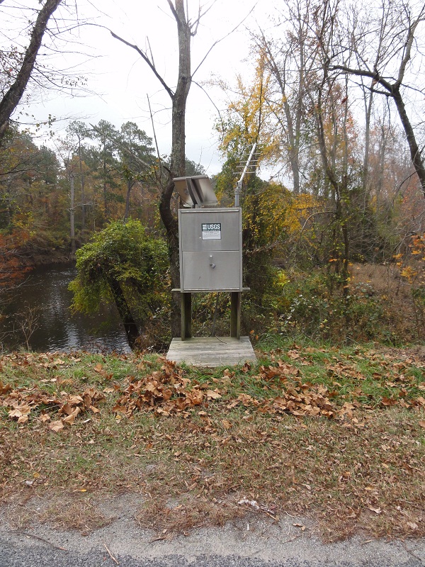
Latitude/Longitude Disclaimer: The gauge location shown in the above map
is the approximate location based on the latitude/longitude coordinates
provided to the NWS by the gauge owner.
Flood Impacts & Photos
If you notice any errors in the below information, please contact our Webmaster
25.9
River stage sensor operating limit
24.19
Stage of the 25-year flood.
24
Entrance road to public boat ramp, 300 yards west of the gauge on Carys Bridge Road, State Route 653, begins to flood.
21.9
Stage of the 10-year flood.
20.13
Stage of the 5-year flood.
20
Water crosses Indian Town Road and US Highway 58 Business in Courtland.
19
Sections of State Route 653, Carys Bridge Road are innundated, including areas 1/4 mile east of the bridge crossing the Nottoway River.
18.5
Hancock Peanut Mill is affected in Courtland.
17
Water begins to cover Old Forty Road, State Route 634, in Sussex County.
16
Peters Bridge boat landing and portions of the Chub Sandhill Natural Area Preserve begin to flood, approximately 5 miles upstream of gage.
14
Public parking lot near boat ramp, 1000 ft upstream of gage, is flooded.
The National Weather Service prepares its forecasts and other services in collaboration with agencies like the US Geological Survey, US Bureau of Reclamation, US Army Corps of Engineers, Natural Resource Conservation Service, National Park Service, ALERT Users Group, Bureau of Indian Affairs, and many state and local emergency managers across the country. For details, please click here.
NWS Information
National Weather Service
Wakefield Weather Forecast Office
10009 General Mahone Hwy
Wakefield, VA 23888
(757) 899-4200 Ask Questions/Webmaster
Page last modified: 2-Nov-2020 7:30 PM