Skip Navigation Link weather.gov  
NOAA logo - Click to go to the NOAA homepage National Weather Service NWS logo - Click to go to the NWS homepage
Advanced Hydrologic Prediction Service
Image background of Navigation bar Left
Navigation Bar End Cap


This probabilistic forecast is issued by the West Gulf River Forecast Center.
tab left off Hydrograph tab right off tab left off River at a Glance tab right off tab left off Download tab right off tab left on tab right on
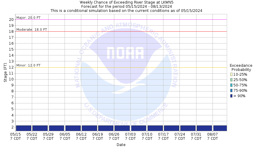
About this graph
Forecasts are not available for the Fourmile Draw 4 miles NNW of Lakewood. Only observed stages are available for this point.

Vertical datum height surveyed by the USGS

Return to Area Map

Zoom Level:15
Flood Categories (in feet)
Major Flood Stage: 20
Moderate Flood Stage: 18
Flood Stage: 12
Action Stage: 9
Low Stage (in feet): 0

Historic Crests
(1) 19.90 ft on 08/23/1966
(2) 17.18 ft on 06/25/1986
(3) 16.90 ft on 09/22/1974
(4) 14.62 ft on 08/11/1984
(5) 13.11 ft on 09/19/2014
Show More Historic Crests

(P): Preliminary values subject to further review.

Recent Crests
(1) 13.11 ft on 09/19/2014
(2) 10.01 ft on 09/12/2013
(3) 17.18 ft on 06/25/1986
(4) 14.62 ft on 08/11/1984
(5) 16.90 ft on 09/22/1974
Show More Recent Crests

(P): Preliminary values subject to further review.

Low Water Records
(1) 0.41 ft on 10/01/1951
(2) 2.21 ft on 08/30/2023
KML Image
Gauge LocationGauge Map Marker
Disclaimer
Latitude/Longitude Disclaimer: The gauge location shown in the above map is the approximate location based on the latitude/longitude coordinates provided to the NWS by the gauge owner.
Flood Impacts & Photos Collapse
If you notice any errors in the below information, please contact our Webmaster
20 the river reaches major flood stage.
18 the river reaches moderate flood stage, and area rangeland continues to flood. The South Lake Road near the gage site is inundated and impassable. No other flood threats are known.
12 the river reaches minor flood stage, and area rangeland begins to flood. The low water crossing along South Lake Road near the gage site is completely inundated and becomes impassable. No other flood threats are known. Both banks will overflow at stages over 12 feet.
5 the low water crossing along South Lake Road begins to flood. However, flow remains well within the banks.

Other Real-time and/or Archive Data Sources:

Collaborative Agencies Collapse
The National Weather Service prepares its forecasts and other services in collaboration with agencies like the US Geological Survey, US Bureau of Reclamation, US Army Corps of Engineers, Natural Resource Conservation Service, National Park Service, ALERT Users Group, Bureau of Indian Affairs, and many state and local emergency managers across the country. For details, please click here.
NWS Information
National Weather Service
Midland/Odessa Weather Forecast Office
2500 Challenger Drive
Midland, TX 79706
(432) 563-5006
Ask Questions/Webmaster
Page last modified: 2-Nov-2020 7:29 PM
Disclaimer
Credits
Glossary
Privacy Policy
About Us
Career Opportunities